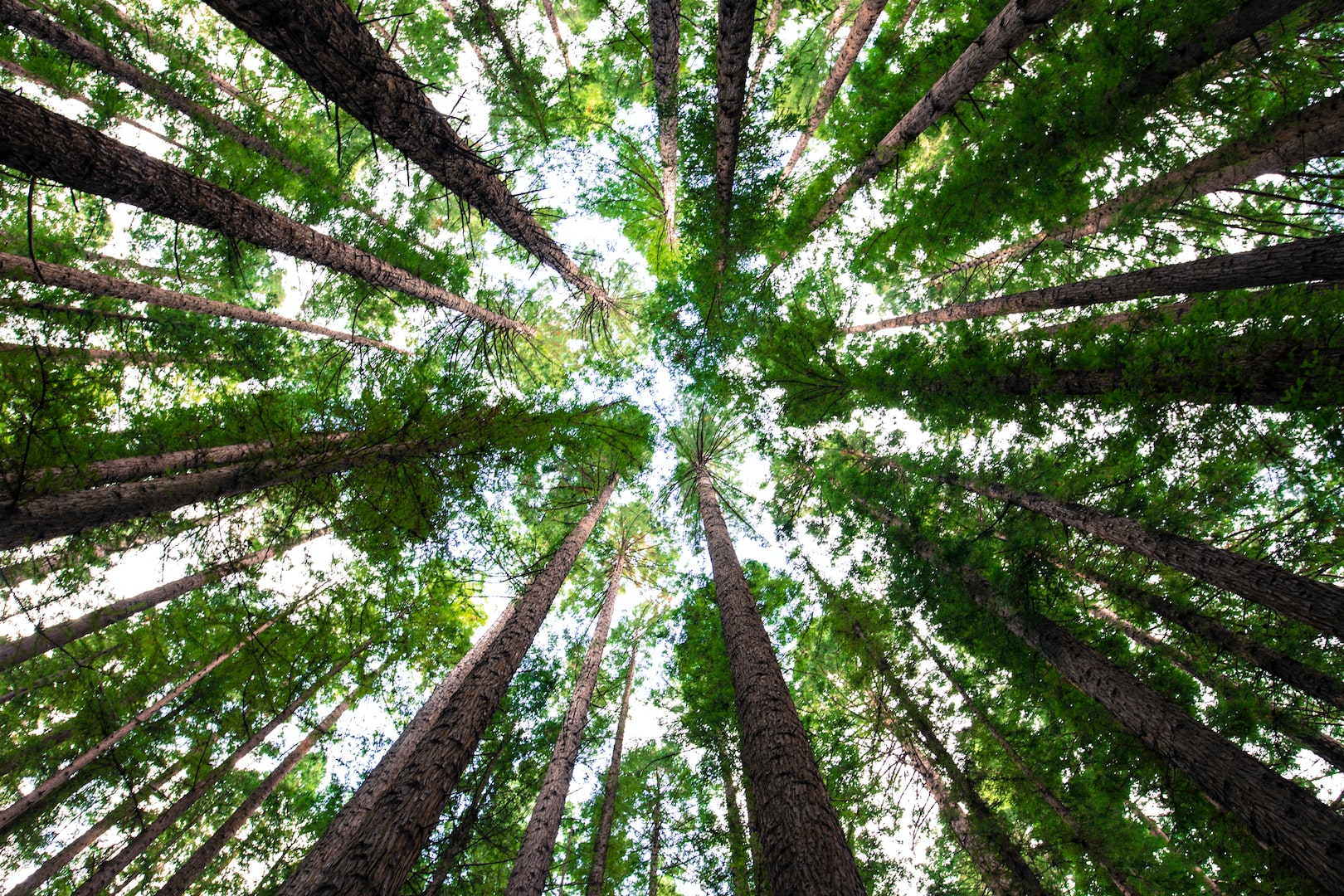
The LHSA Tree Map
The Tree Map

LHSA's latest innovation has been the creation of The Tree Map. The aim of this online tool is to provide both easy information about our trees but also be a place where people can share their trees through citizen involvement which we are dubbing citizen landscapists.
Trees come in a wide variety of formats or usages which we might commonly think of as street trees, garden trees, park trees, shade trees, feature trees, memorial trees, historical trees, car park trees, rooftop trees, woodland trees, forest trees, farmyard trees, woodlot trees, windbelt trees, roadside trees, plantation trees, orchard trees, lone trees, petrified trees, dead trees and many others.
Trees form a vital part of both natural and cultivated landscapes. The conservation of trees is therefore also vital. We are referring to the tree component of landscapes as Treescapes or The Treescape covering the whole domain of trees.
LHSA's Tree Map follows the same principles as LHSA's Landscape Map providing free information to the general public that is easily accessible in the landscape on your mobile phone or from the comfort your tablet or your computer. The map is not nearly as advanced as The Landscape Map yet, but is a work in progress that we hope to build on with the input of industry role players and citizen landscapists.
We have started recording trees in the Cape Town and Cape Peninsula as a starting point but are looking for people to join us in this citizen landscape venture and start mapping and sharing their trees with us. The creation of databases and tree records is vital and this needs to go beyond the citizen science approach which is solely concerned with natural landscapes.
The following people and practitioners can develop their own tree maps using Google My Maps as we do, or their preferred Tree App, and then share their databases with us by exporting them and becoming LHSA Tree Mappers; likewise, LHSA Landscape Mappers who similarly can work to map the landscape:
The General Public
Landscape Architects
Landscape Designers
Arborists
Foresters
Horticulturists
Landscape Contractors
Scientists
Architects
Archaeologists
Two sizes of the map are included: the first one is smaller and fine for a mobile, while the second one is larger and suitable for a laptop or larger screen. Just two-finger scroll in the navigation bar if you want to move up or down on the page without enlarging or reducing the maps by two-finger scrolling within/over them.